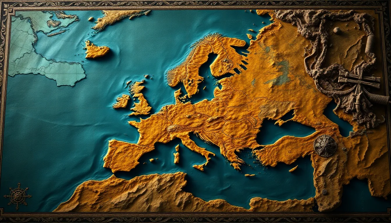
The Mythical Map: Unraveling the Secrets of Ancient Cartography
Introduction: The Allure of Ancient Maps
The allure of ancient maps lies not only in their artistic beauty but also in their ability to transport us to a time when the world was largely unexplored and shrouded in mystery. Ancient cartography serves as a window into the minds of those who navigated their worlds, revealing how they understood and interpreted their surroundings. Mythical maps, in particular, capture our imagination with their blend of geography and lore, inviting us to explore the boundaries of reality and fantasy.
The Origins of Cartography: A Historical Perspective
Cartography, the art and science of map-making, has its roots in the ancient civilizations of Mesopotamia, Egypt, China, and Greece. Each of these cultures contributed to the development of mapping techniques, laying the groundwork for future exploration and trade.
- Mesopotamia: The earliest known maps date back to the Babylonians, who created clay tablets with rudimentary representations of their surroundings.
- Egypt: The Egyptians utilized maps for administrative purposes, showing land boundaries and resource distribution.
- China: Ancient Chinese maps depicted not only geography but also cosmology, reflecting their philosophical beliefs.
- Greece: Greek philosophers like Ptolemy advanced map-making techniques, introducing a more systematic approach to geography.
Geography was crucial in ancient societies for various reasons, including trade routes, exploration endeavors, and military strategies. Understanding the lay of the land often determined the success of a civilization.
Materials and Methods: How Ancient Maps Were Created
The creation of ancient maps involved a variety of materials and methods, reflecting the technological advancements of the time.
- Materials:
- Papyrus: Used in ancient Egypt, this early writing material was often used for scrolls containing maps.
- Parchment: Made from animal skins, parchment was durable and used in various cultures for detailed maps.
- Clay tablets: The Sumerians and Babylonians utilized clay for inscribing maps, which were both practical and symbolic.
- Techniques:
- Incision: Carving maps into clay or stone provided a lasting record.
- Ink and pigment: Ancient cartographers used natural dyes and inks to create colorful representations of their worlds.
Cultural Influences on Ancient Maps
Ancient maps were not merely geographical tools; they were also cultural artifacts influenced by mythology, religion, and folklore.
For instance, Ptolemy’s maps integrated the known world with mythological elements, while the Mappa Mundi depicted not just geography but also biblical stories and mythical creatures.
- Ptolemy’s Maps: These maps blended empirical observation with ancient beliefs, illustrating places like the Isle of the Blessed.
- Mappa Mundi: A medieval map that combined geography with religious narratives, showing heaven, earth, and hell.
The Role of Exploration and Expansion in Cartography
The Age of Exploration significantly impacted cartography, as explorers ventured into uncharted territories, bringing back knowledge that transformed maps.
- Notable Explorers:
- Christopher Columbus: His voyages across the Atlantic challenged existing maps and perceptions of the world.
- Ferdinand Magellan: His circumnavigation of the globe provided invaluable insights into global geography.
Decoding Symbolism: Interpreting Ancient Map Icons
Ancient maps often utilized a rich iconography that conveyed complex information succinctly.
- Common Symbols:
- Mountains: Typically depicted as jagged lines or peaks.
- Water bodies: Represented by wavy lines or blue coloring.
- Cities: Often marked with dots or small symbols, indicating their significance.
These symbols allowed viewers to quickly grasp the geographical layout and important features of a region, serving as a visual language of sorts.
The Intersection of Science and Art in Cartography
Ancient maps are remarkable in that they blend artistic expression with scientific inquiry. The beauty of these maps is often matched by their accuracy and detail.
- Masterpieces:
- The Tabula Rogeriana: Created by the Arab geographer Muhammad al-Idrisi, this map is both scientifically accurate and artistically rendered.
- The Hereford Mappa Mundi: A stunning example of medieval art that combines geography, mythology, and historical events.
The Myths Behind the Maps: Legends and Lore
Myths and legends have always found their way onto maps, reflecting the cultural narratives of the times.
- Mythical Locations:
- Atlantis: The legendary sunken city that has captivated imaginations for centuries.
- El Dorado: The fabled city of gold that drove explorers into the heart of South America.
These mythical places not only inspired exploration but also shaped the stories that cultures told about their past and future.
The Legacy of Ancient Cartography in Modern Mapping
The legacy of ancient cartography is evident in contemporary mapping practices. Modern maps still draw from ancient traditions, blending old knowledge with new technologies.
Additionally, the resurgence of interest in mythical maps can be seen in modern culture through literature, gaming, and art, where the blend of reality and fantasy continues to inspire.
Conclusion: The Enduring Mystique of the Mythical Map
Ancient maps reveal much about human curiosity and our quest for knowledge. They provide insights into how civilizations viewed their world and the myths that shaped their identities. The enduring relevance of mythical maps in today’s society serves as a reminder of our collective imagination and the timeless pursuit of discovery.
As we continue to explore and understand our world, the fascination with the mythical map remains, inviting us to embark on new adventures and question the boundaries of our knowledge.


